After plotting locations and creating paths on the wayfinding maps, add interactive buttons by adding a Live Data content type.
Link wayfinding and live data content to create interactivity
Step 1
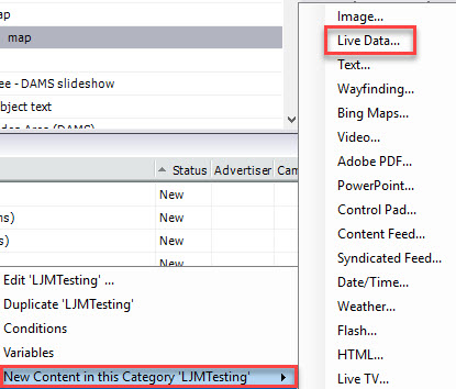
In the Category Library, go to your content category and right click. Select New Content in this category 'content name' > Live Data.
Step 2
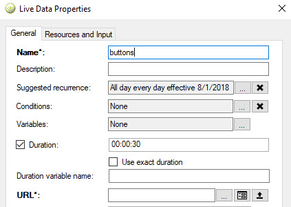
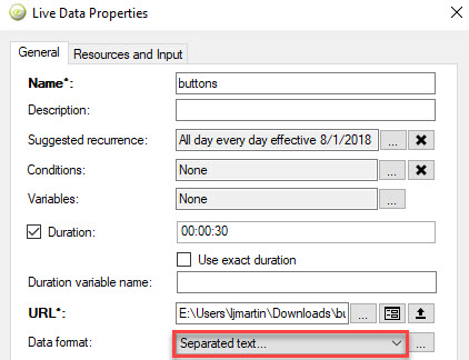
Live Data Properties opens. Give the content a Name.
Step 3
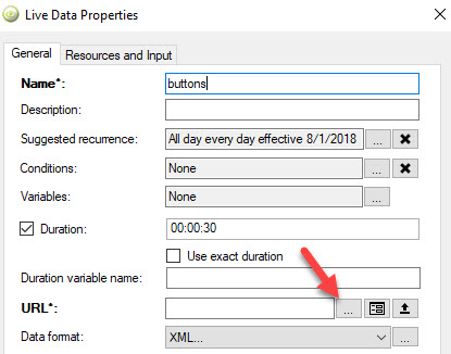
In the URL field, click on the ellipsis button. Select the .csv file with values used for plotting locations.
Step 4
In the Data Format field, select Separated Text and click OK.
Step 5
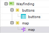
The Live Data content will display in the content library. Drag and drop the Live Data content into the template region in the Network Overview.
Step 6
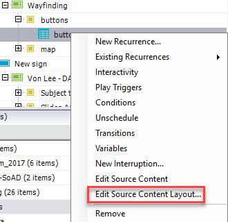
Right click on the new Live Data content and select Edit Source Content Layout.
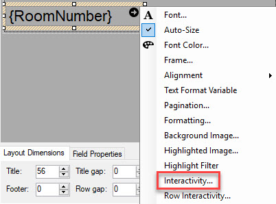
Step 7
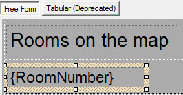
In the layout editor, add the markup text of the column name from the .csv file. In this example it is {RoomNumber}.
Step 8
Right click on the markup text area and select Interactivity.
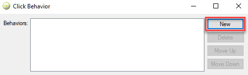
Step 9
Click Behavior opens. Select New.
Step 10
For the Target Region, select the wayfinding region that you created. In this example, the target region region has the name of map. Select the same region from the drop-down menu in the Play Content tab.
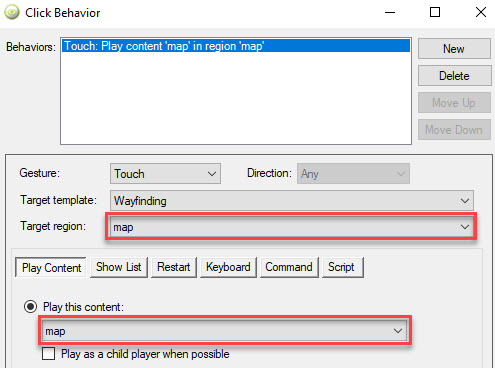
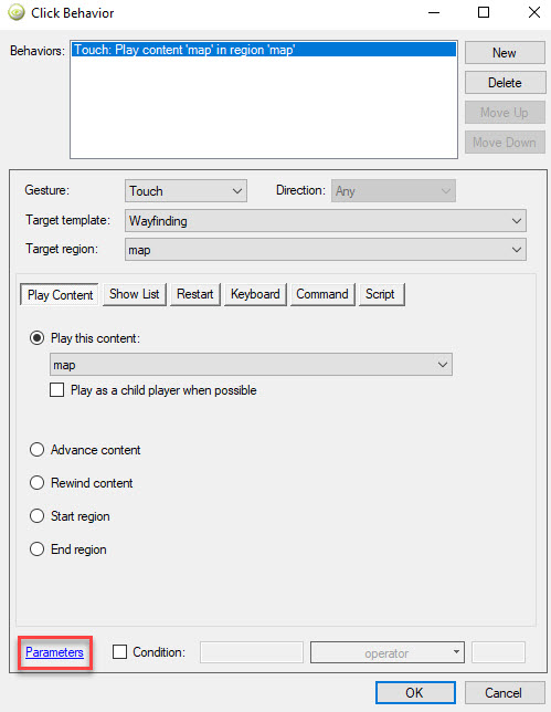
Step 11
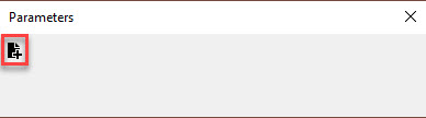
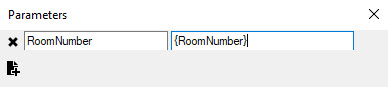
In the Play Content tab, click Parameters.
Step 12
Parameters opens. Click on the add parameter button. Link the wayfinding and live data regions: in the first parameter field, enter the column name from the .csv file. In the second parameter field, enter the markup text from the layout.
Step 13
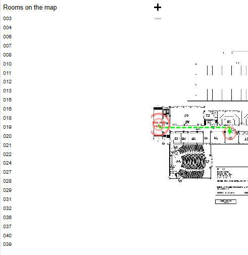
Verify that the interactivity works by previewing the digital sign and clicking the buttons for locations.